Tel-Map®
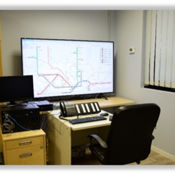

Tel-Map® is a software that allows you to view the geographical map of a site, such as a highway or an industrial plant, on large screens (but not only), displaying the position and status of a large number of emergency telephone stations.
In addition to the position, customized icons also indicate the status of the single station, therefore if it is in stand-by, it is launching a distress call, or is in conversation.
If associated with the TelDia® software, the fault status can also be displayed with a specific icon.